 |
| Quartz grain imaged by a scanning electron microscope |
The image to the right might look like a NASA image of some distant planet but it is actually a grain of sand recovered from a deep borehole in the Sahara desert of central Algeria. The quartz grain, magnified many times using a scanning electron microscope, comes from the 'Continental Intercalaire', a thick unit of sandstones, mudstones and carbonates which lies below much of the Sahara desert. Vast quantities of groundwater are stored within the Continental Intercalaire deposits.
This quartz grain, like many others within the Continental Intercalaire in central Algeria, is interesting because the corners have been well rounded, leaving distinctive broad, bulbous grain edges. Such rounding of quartz grains is nearly always associated with aeolian transport, where sand grains bounce along in the wind and many high-energy impacts polish and round the grain edges. However, the Continental Intercalaire of North Africa is normally considered to have been deposited by rivers, deltas, and lagoons in a marginal marine setting.
 |
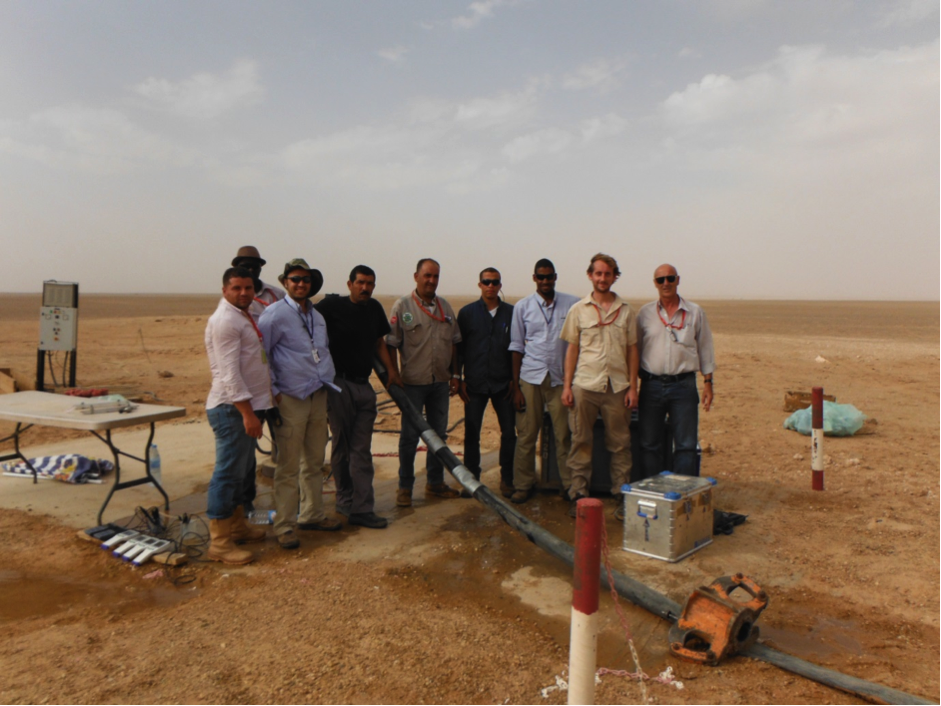
| Geologists at work in the Sahara desert of central Algeria |
Our work at Krechba (In Salah) in central Algeria (see map) has clearly shown the existence of ancient rivers in the Lower Cretaceous Continental Intercalaire.
 |
| Map of the study area, Krechba (In Salah) in central Algeria |
 |
3D seismic images showing the sinuous river channels
(indicated by yellow arrows) |
These are spectacularly shown in 3D seismic images as sinuous river channels (indicated by yellow arrows) which, during the lowermost Cretaceous meandered lazily across what is now the Sahara Desert.
However, in an overlying unit we call the Krechba Formation (see the borehole correlation below) the channels disappear and the deposit is dominated by weakly-consolidated sands (shown by the yellow colour) that show convincing microscopic evidence for wind-blown transport.
 |
| Borehole information showing the correlation of the sandstones (shown in yellow) across the study area |
This seems to point toward a major change of environment in the mid-Cretaceous of central Algeria, from lush river floodplains in the In Salah Formation to an arid desert represented by the Krechba Formation, possibly similar to the modern Sahara. On a global scale, this can probably be related to the initial opening of the South Atlantic Ocean in the mid-Cretaceous which caused a major reorganisation of climatic zones, with the initial establishment of a hot arid belt across northern Africa. While this was likely to have been detrimental to life in the Sahara region during the mid-Cretaceous it is actually of high benefit in the context of the Continental Intercalaire today and its vital role as an aquifer. Thick piles of aeolian sand and sandstone happen to provide enormous amounts of space or porosity for the storage of water and an understanding of the depositional environment of the Continental Intercalaire has important implications for estimating the size and long-term sustainability of this vital resource.
Further details on the work are available in the journal 'Palaeogeography, Palaeoclimatology, Palaeoecology'. 'The Cretaceous Continental Intercalaire in central Algeria: subsurface evidence for a fluvial to aeolian transition and implications for the onset of aridity on the Saharan Platform' by Andrew Newell, Gary Kirby, James Sorensen and Antoni Milodowski found at http://dx.doi.org/10.1016/j.palaeo.2015.07.023.


Comments