
 |
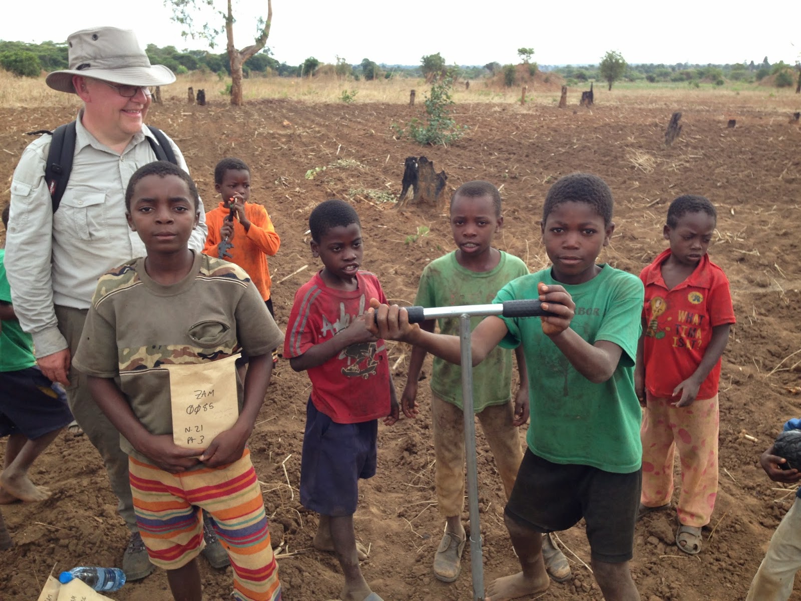
| Murray (left) getting some local help |
It is always good when the environmental statistician gets to discuss field sampling with scientists before they head out to collect their material. That way we can ensure, given all available prior information, that the data resulting from the sampling are most likely to be useful for the research. It is even better when the environmental statistician gets to participate in the field work. That way we can see the practical issues of sampling on the ground, and sometimes make adjustments to the plan on the go. And, in my case anyway, I enjoy field work as much as any of my geologist colleagues, particularly when it takes place in the landscape where I first developed an interest in environmental science: the miombo woodland of my native central Africa.
 |
| Sampling team, made up of BGS and colleagues from Copperbelt University and the Zambian Agricultural Research Institute, in front of a large termite mound. |
A previous blog by Michael Watts 'Geochemistry brings societal benefits to sub-Saharan Africa... by Michael Watts' explained that BGS is beginning a five-year project in geochemistry with partners at the University of Nottingham and from universities and institutes in Zambia, Malawi and Zimbabwe. The project will address a range of important questions related to human health through research to understand the behaviour of trace elements in the soil including essential micronutrients, often in deficiency, and potentially toxic elements, often associated with waste from mining activity past and present. In November, under the aegis of the Centre for Environmental Geochemistry and BGS Global, Michael, myself and Elliott Hamilton visited Zambia to undertake some exploratory fieldwork with colleagues from the Copperbelt University and the Zambian Agricultural Research Institute.
Before travelling to Africa I met Michael and Elliott to discuss their objectives for the sampling. First, they wanted to know what trace elements in the soil might be present in potentially harmful concentrations and whether these could be shown to arise from human activities such as smelters or the disposal of "tailings", waste products from the first stages of processing of ore. Second, they needed to know something about the variability of elemental concentrations to aid planning of further more detailed surveys and the layout of experimental plots. That means we need to know something about the importance of variation at different spatial scales. For that reason I proposed a spatially nested sampling scheme around sampling "mainstations" or nodes set out on transects across potential environmental gradients of interest (e.g. downwind from a tailings heap, or a smelter).
 |
| Bagging first sample on cultivated land near the margin of a dambo |
We put these principles into practice in Zambia, sampling on transects to explore gradients expected due to the movement of material by wind from smelters or mine tailings and with a nested design at each node to explore variation at scales from 1m to 100m. The soil is currently being processed in the laboratory, but soon we should be able to complete the spatial analyses, to learn something about the nature of the problem and how the next phase of sampling should be planned.
 |
| Murray giving a lecture on statistical methods used at the BGS |
While visiting the Copperbelt University, Zambian Agricultural Research Institute and, later, the University of Zimbabwe, I gave a lecture on the statistical methods that we use at BGS for analysis of spatial data and to plan robust and rational sampling schemes. There was interest in how these methods could be used as the geochemistry project develops, and also in how they might be applied to elucidate other problems connected to soil carbon content under farming and the use of old soil survey data for current questions about how to monitor the soil.
Murray
To read Michael's previous blog follow this link.
Comments